21 November 2023
Nice and easy
Mount Takamizu from Ikusabata to Sawai
Actually, there were three peaks on today's excellent hike but I cannot list them all in the title. Takamizu, Iwatekeishi and Sogaku.
If you are looking for an easy to do hike, close to Tokyo, with great scenery, good signage, and other people even on a weekday, then this is the hike for you.
As has become my usual modus operandi, I boarded the Ome train from Kanda, changed at Ome and continued towards Okutama for a few stops to Ikusabata. After my recent dehydration dilemma, I was very hydrated, but thankfully I had also bought supplies prior to boarding at Kanda. There is an independent convenience store on Ikusabata station that advertises as being open and having hiking supplies, food and drinks for hiking, but they were closed! They should update their google listing. There are no other stores near this station.
The actual hike took about 4 hours, 11km, 20k steps and 714m in elevation gain. There were a couple of technical bits where I needed to use my hands, but nothing too dangerous.
Now for the pics.
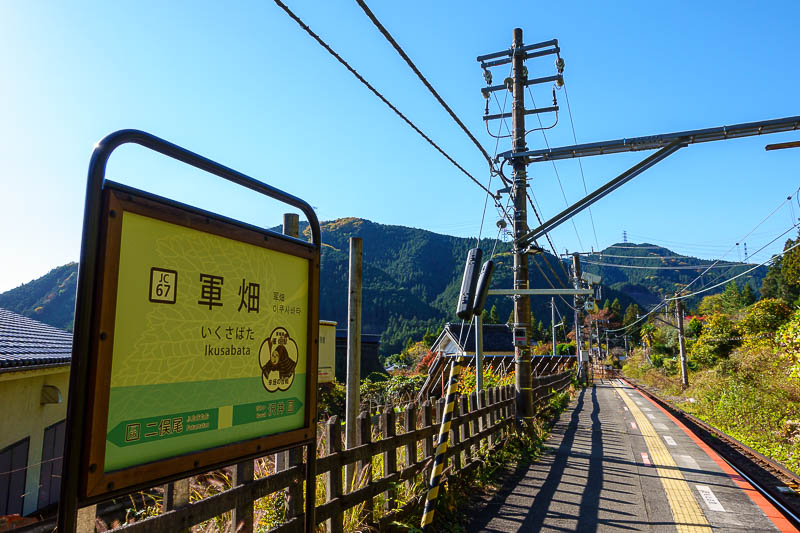
Ikusabata station. Today will be a loop course that ends at Sawai station. You can also end at Mitake station, it is almost exactly the same distance, but since I have already been to Mitake on this trip I elected to go to Sawai.
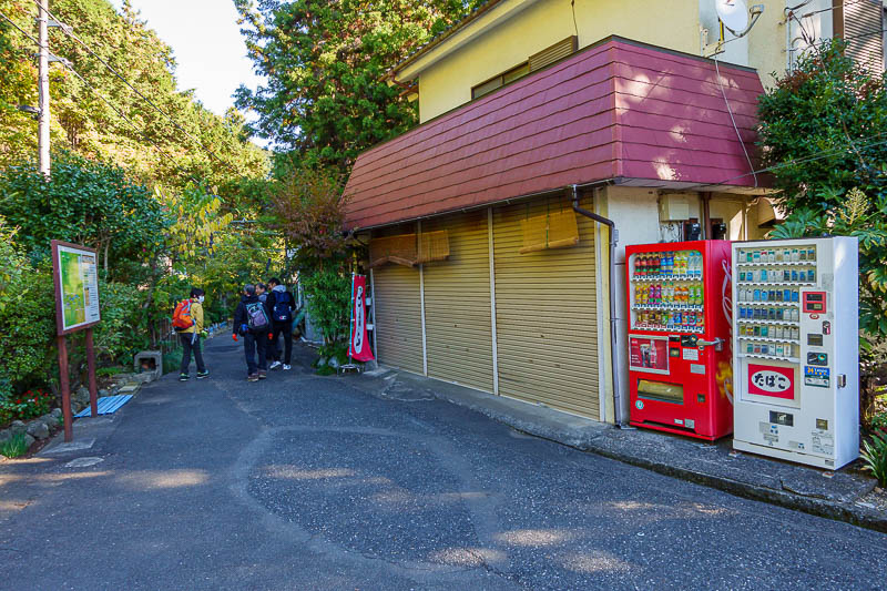
The aforementioned closed convenience store. There are vending machines for drinks and cigarettes.... Also, other hikers, on a Tuesday morning.
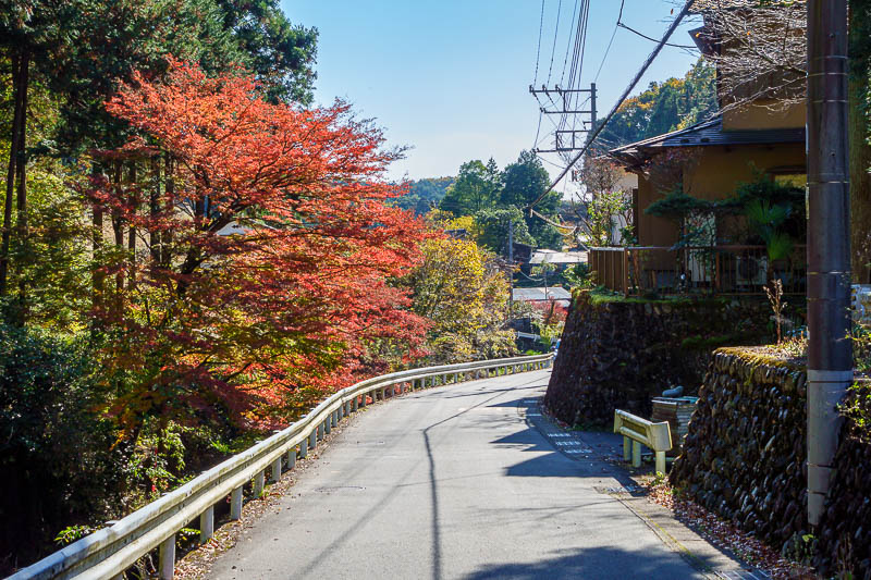
The walk up to the trail head was very picturesque.
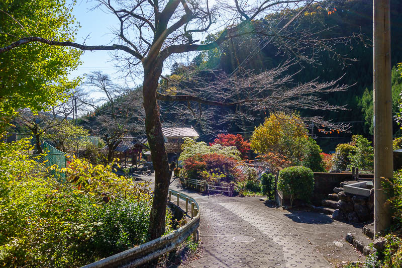
There were a couple of shrines to walk past. The busy roads had a footpath too.
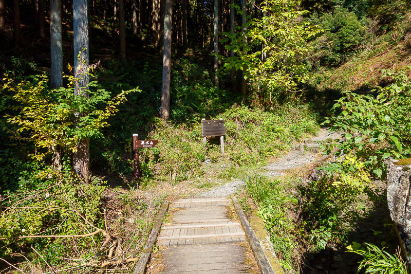
Here is the trail head. I will help people.... 35.82176320733035, 139.2001447186296
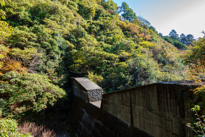
First I had to pass the flood control concrete. No chance of flood today, amazing weather again!
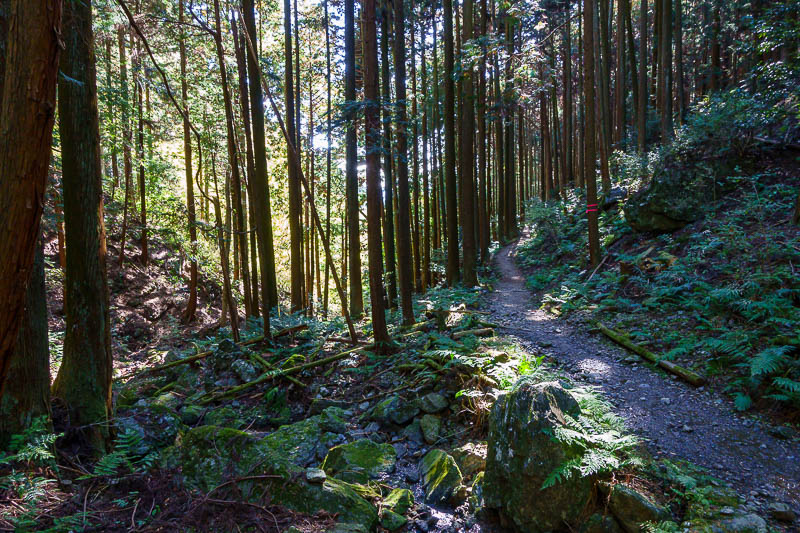
The path started through cedar / pine forest. Much of it will be logged in the future. Stay tuned for logged area photos.
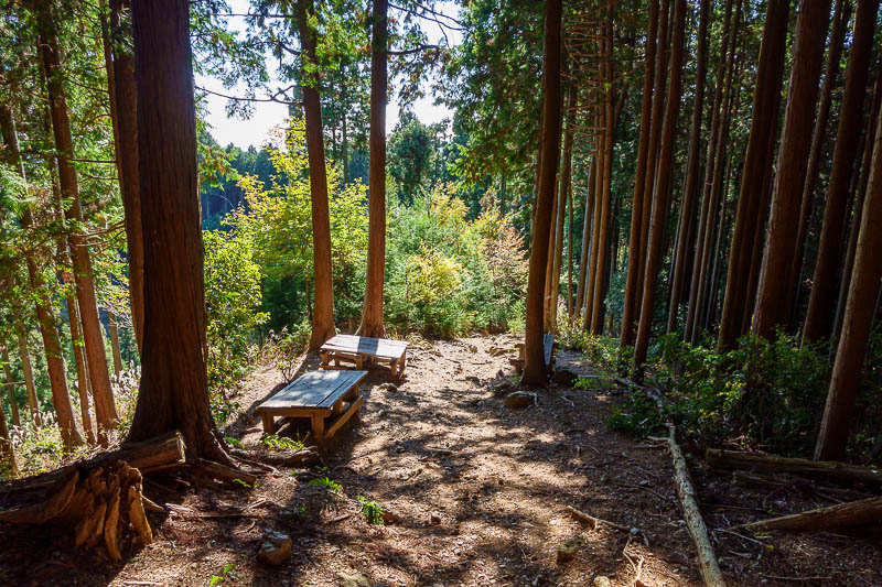
This hike is popular enough that there is some trail furniture even where there is no view.
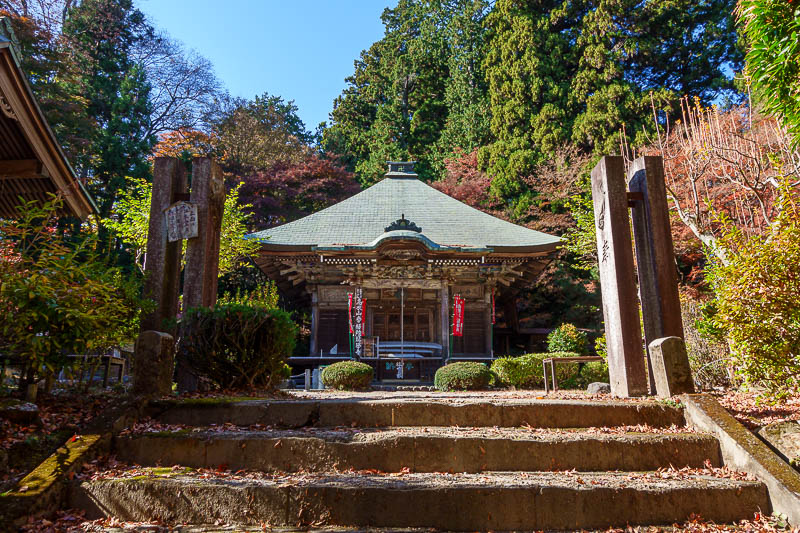
Near the summit of Mount Takamizu is this shrine in the forest. The area around it has some nice scenery where they have planted trees.
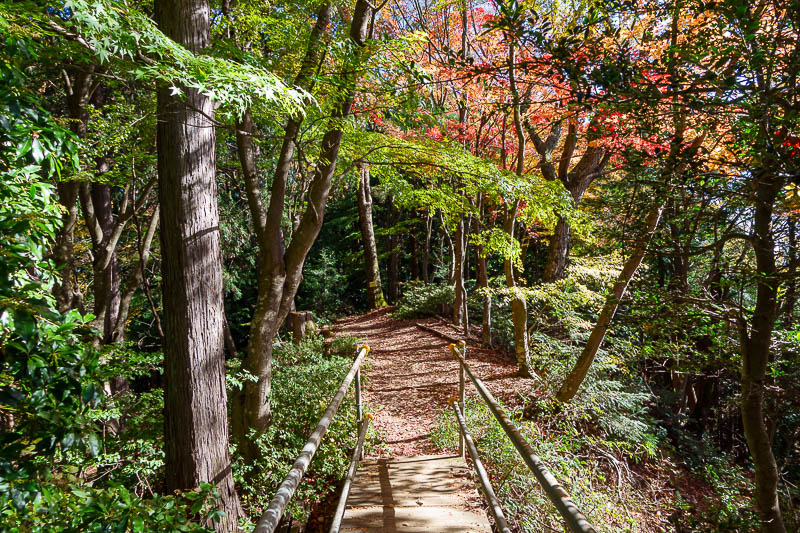
As mentioned, the area around the shrine with nice trees.
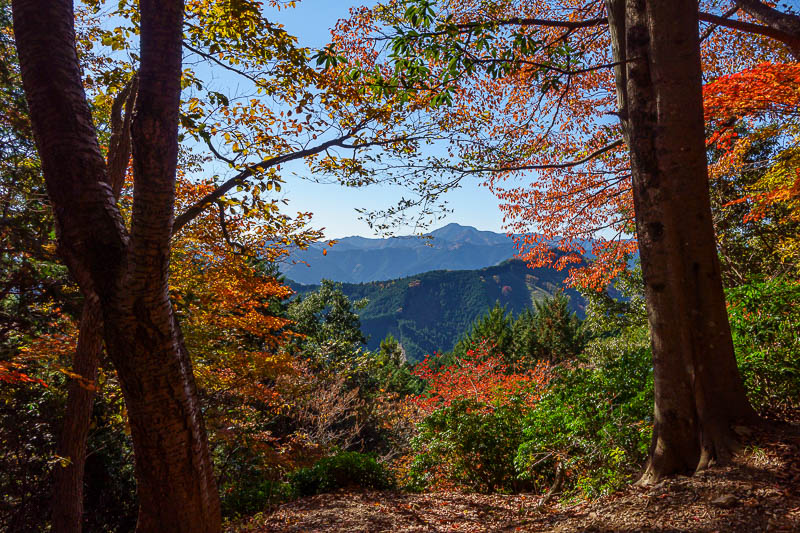
Great view!
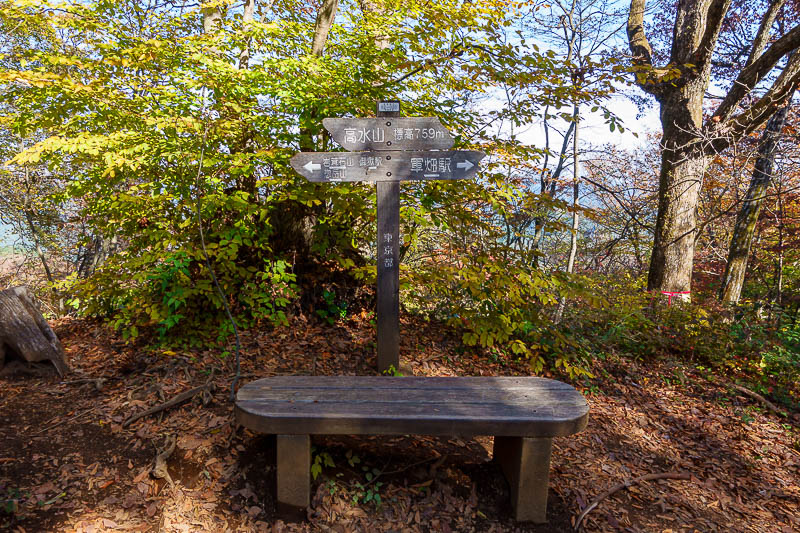
The summit of Mount Takamizu has no actual view. Do not be concerned, there is view to come. Not too high today, 759m
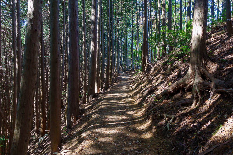
The path after this summit was almost road like... for a while.
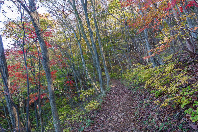
This stretch would look great with a bit of sun. It was over the far side of the valley so gets very little sun.
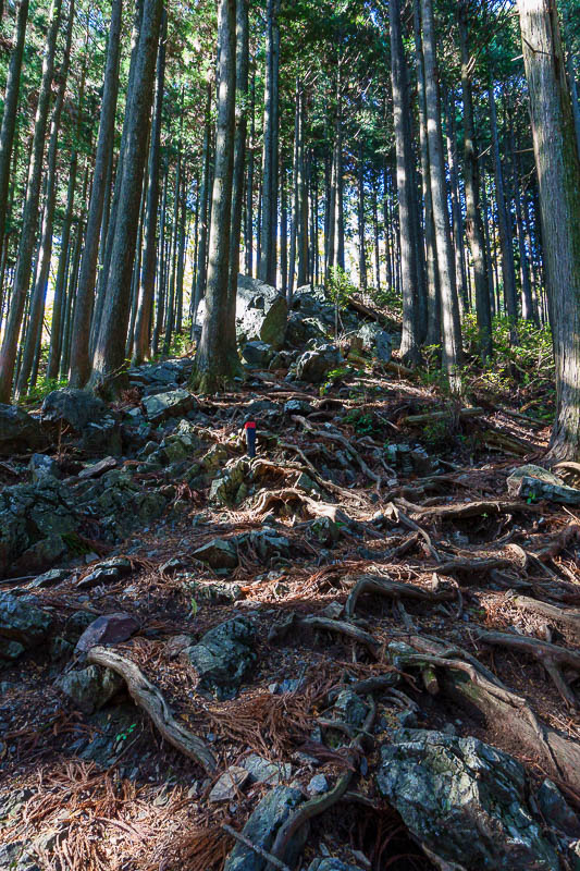
Probably the trickiest section of the hike today. I enjoyed it on what was largely a relaxing stroll in the woods kind of day.
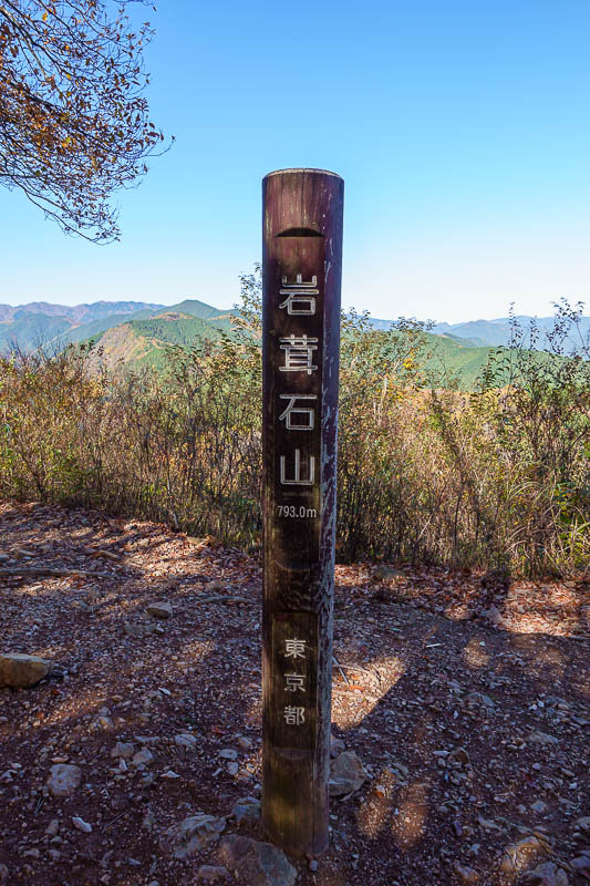
Second summit, Mount Iwatekeishi. I now realise it is higher than Takamizu so I do not know why it doesn't seem to get top billing. Like everywhere around here there are multiple ways to climb up and down and join everything together, and Takamizu has the shrine, so that is probably why it is the 'known' peak along here.
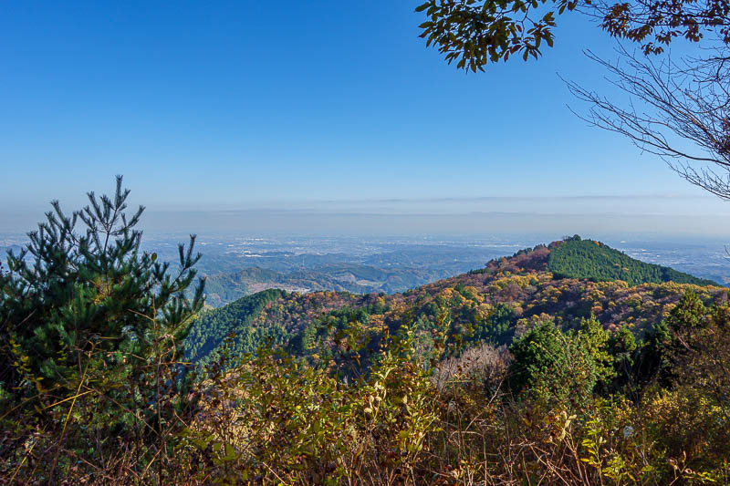
However if you want a view, Iwatekeishi is the place to get it. This is back towards Tokyo.
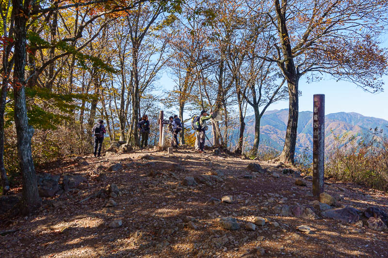
Other hikers. Bear bait as I call them.
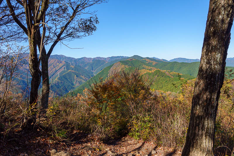
I have climbed a lot of those.
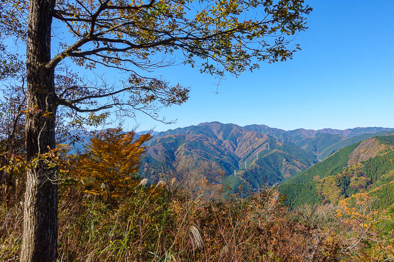
A bit more view.
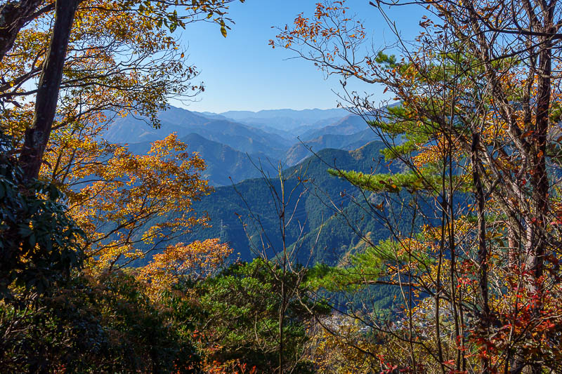
Another contender for shot of the day. I used a bit of zoom on this one. Very clear skies the last few days.
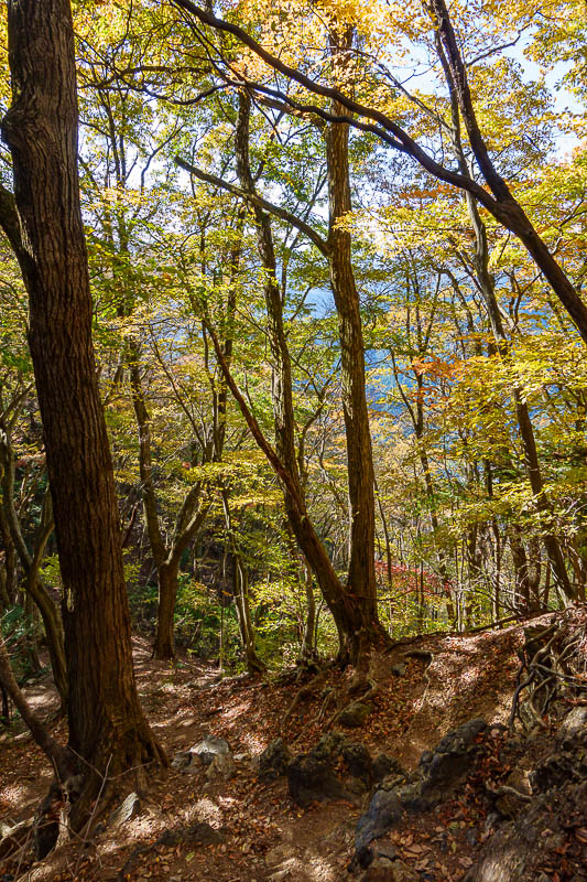
More leaf colour.
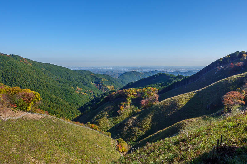
Here is a bit of the hill that has been logged. It is useful as it provides a view that otherwise would not be there.
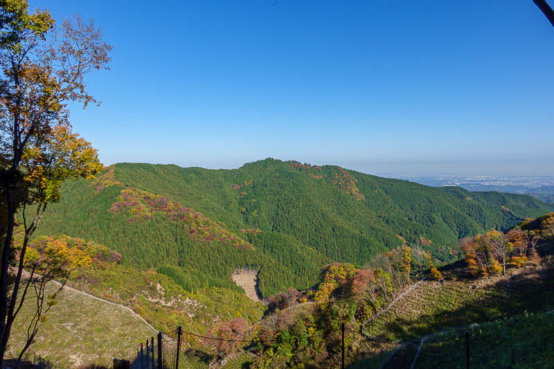
The trail I had followed came up and along that ridge seen here, then around off the left of the screen to where I am standing.
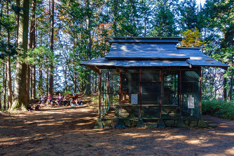
This is the final peak of the day, again with a shrine and other hikers, again with no view, but just past the view in the previous pics. Mount Sogaku.
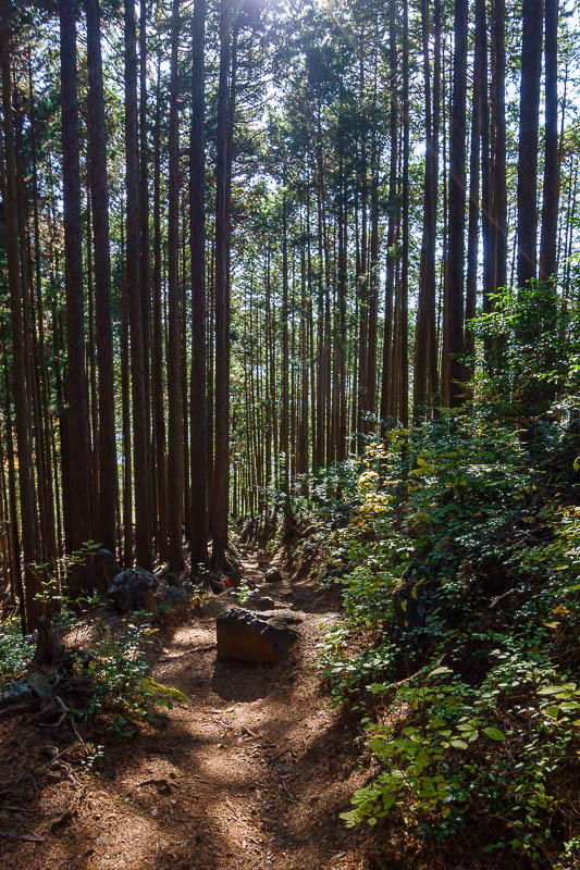
The path down from here was mostly back in the forest.
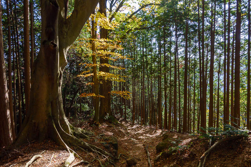
Occasionally, a single yellow tree snuck into the forest.
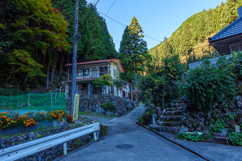
Here is where the trail let out back onto a road.
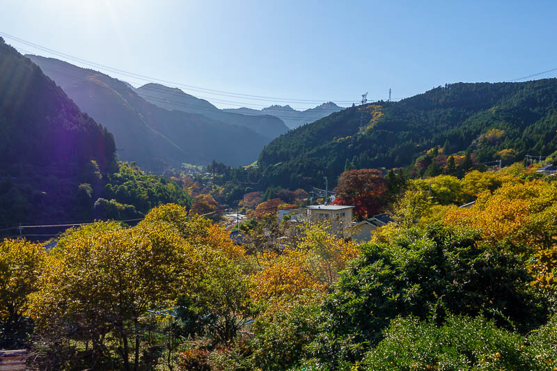
Sawai station is on the side of the hill, this is the view!
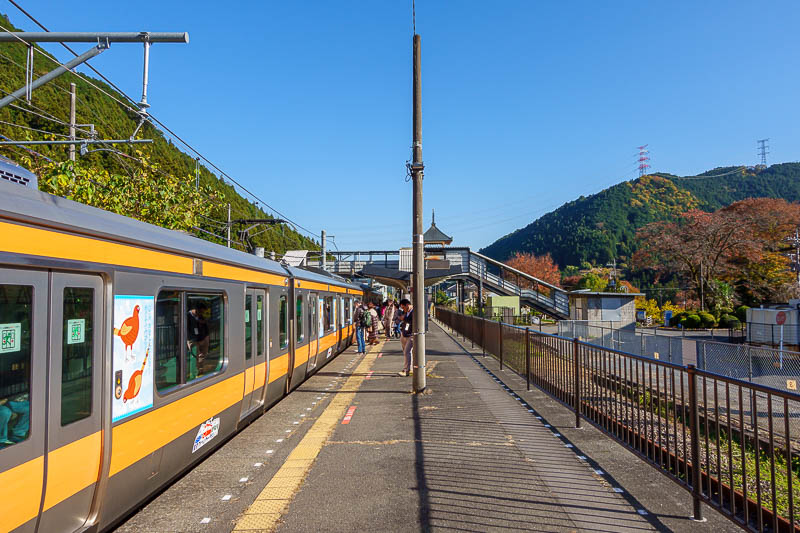
And finally, here comes my train to take me back to Ome. It arrived one minute after I stepped onto the platform, great timing by accident. From Ome I managed to time it for the special rapid, that skips a lot more stations straight back to Kanda, the return trip in total was under 90 minutes.